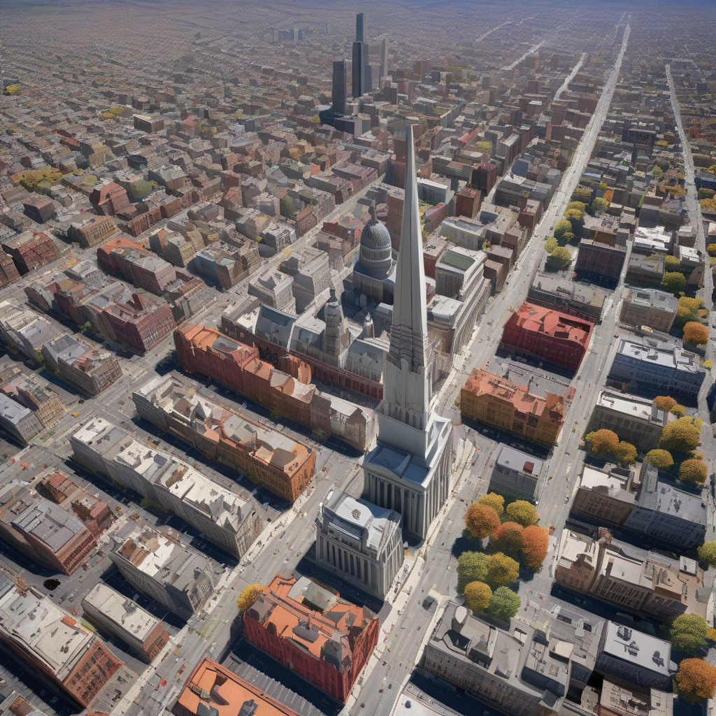
Google has once again upped its game in the world of mapping technology. Recently, the tech giant made an exciting announcement that has the potential to change how we view the world around us—literally. On a Tuesday that won’t soon be forgotten, Google shared that users can now delve into historical Street View imagery right from Google Earth. This development marks a significant leap forward in how we explore and understand the evolution of our surroundings.
Imagine being able to witness the transformation of a bustling city street over the years, seeing how buildings have changed, and how landscapes have evolved. Thanks to Google’s latest update, this is now a reality. By integrating historical Street View imagery into Google Earth, users can embark on a virtual journey through time, comparing past and present views with just a few clicks.
This new feature is more than just a cool addition to Google’s lineup of tools—it’s a valuable resource for urban planners, historians, and anyone interested in tracking changes to the places they care about. For urban development projects, having access to historical Street View imagery can provide crucial insights into how areas have developed, helping professionals make more informed decisions for the future.
Let’s take a closer look at how this update can benefit different groups of users:
- Urban Planners: Urban planners rely on accurate data to make decisions about infrastructure, zoning, and public spaces. With historical Street View imagery now accessible through Google Earth, planners can observe how cities have grown and identify trends that can inform their strategies. For example, they can track the expansion of transportation networks or the development of green spaces over time.
- Historians: For historians, being able to compare past and present views of a location offers a unique perspective on how societies have evolved. Whether studying architectural changes, urbanization patterns, or cultural shifts, having historical Street View imagery at their fingertips can enrich their research and storytelling.
- General Users: Even for everyday users, the ability to explore historical Street View imagery can be a fascinating experience. Whether tracing the history of their own neighborhood or virtually touring iconic locations, this feature adds a new dimension to the way we interact with maps and geography.
By embracing this new feature, Google is not only enhancing the user experience but also opening up possibilities for innovation in various fields. As technology continues to evolve, we can expect to see more creative applications of tools like historical Street View imagery, transforming how we engage with the world around us.
In conclusion, Google’s integration of historical Street View imagery into Google Earth represents a significant advancement in mapping technology. This update has the potential to benefit a wide range of users, from urban planners and historians to everyday map enthusiasts. As we navigate through this virtual timeline of the world, we gain a deeper appreciation for the changes that have shaped our surroundings. So, why not take a virtual stroll through time with Google Earth’s latest feature and witness the past come to life before your eyes?

